Earth Observation imagery · Daily revisit
Every insured parcel,monitored from orbit.
ArdhiPilot detects flood, fire and drought risk per plot, turning the signal into insurance decisions.
Built for agricultural insurers, useful across the value chain
ArdhiPilot turns Earth Observation imagery into per-plot risk decisions for insurers, farmers and institutions.
Our primary focus
Agricultural Insurance
Underwrite, monitor, and settle on objective Earth Observation evidence rather than costly field visits; every insured plot is continuously monitored.
Today, verifying an agricultural claim takes 4–8 weeks, with a field visit for every declaration.
ArdhiPilot supports that process: before/after Earth Observation imagery of the exact parcel — timestamped and objective — so claims teams handle files faster and with more data in hand.
Explore risk by hazard
The same per-plot intelligence, tuned to each peril an insurer underwrites.
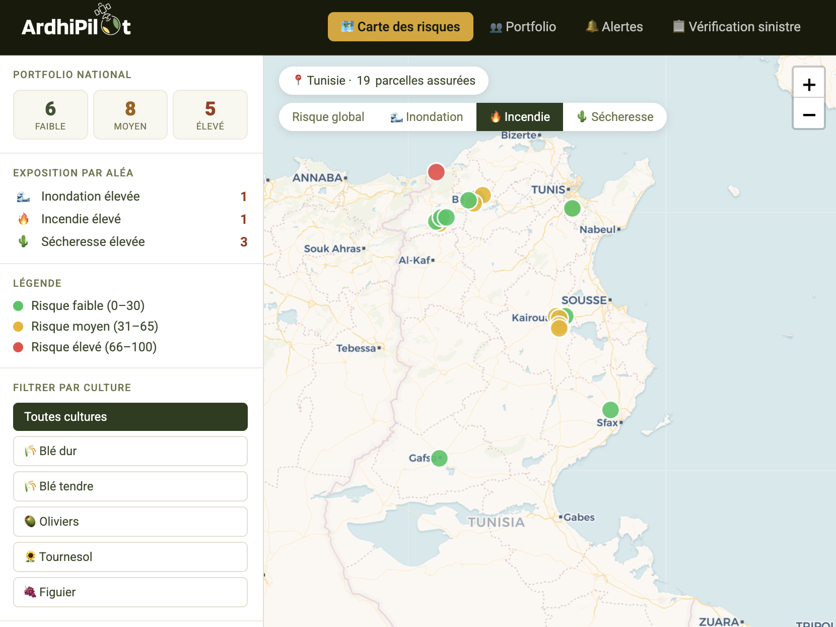
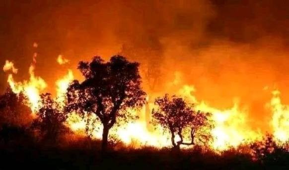
Wildfire & crop-fire risk
Weather-driven fire risk and burn detection per plot — flag exposed parcels before the season and confirm fire damage from space after an event.
Fire risk scored per insured plot
Farmers
Track your crop health in real-time and receive intervention advice directly in the field. With ArdhiPilot, you make the right decisions at the right time, wherever you are.
- Smart field monitoring
- Real-time mobile alerts
- Recommendations tailored to your plot
Institutions
Access accurate regional analyses to guide agricultural policies and improve territorial resilience. ArdhiPilot helps you transform data into strategic decisions.
- Advanced regional analysis
- Policy decision support tools
- Monitoring and compliance
Platform Highlights
The Earth Observation, AI and mobile building blocks behind every ArdhiPilot risk decision.
Aerial Monitoring
Earth Observation imagery for comprehensive terrain analysis
AI Analytics
Machine learning algorithms for predictive insights on crop and soil health
Mobile Alerts
Real-time notifications for weather conditions, disease detection and irrigation needs
Collaboration
Secure data sharing with advisors, institutions and farming communities
Proven on the ground across Tunisia
Monitoring insured plots across six regions — the field results that back our claim verification.
5000+
Hectares Monitored
98%
Detection Accuracy
6
Regions Covered
Using ArdhiPilot, I saved 25% on water costs and increased my grain yield by 20%. The early disease detection alerts alone paid for the service.— Hatem Mokni, Grain Producer, Kairouan Region
Pilot goal
From weeks to under 10 days
Our target with insurer pilots: cut crop-damage claim settlement from 4–8 weeks to under 10 days using objective Earth Observation evidence.