
25 September 2026
ArdhiFire wins 1st Prize at the SpatiELLEs Hackathon, Africa Space Expo
In Abidjan, the jury picked ArdhiFire from entries submitted by teams in 16 countries.
Read moreEarth observation + AI · Climate risk
ArdhiPilot turns satellite imagery and AI into per-parcel risk scores, early warnings and objective damage evidence, for agricultural insurers, institutions and farmers. Fire, flood, drought.
ArdhiPilot turns Earth Observation imagery into per-plot risk decisions for insurers, farmers and institutions.
Only 8% of Tunisia's 516,000 farmers are insured.
Source: Ministry of Agriculture
Our primary focus
Underwrite, monitor and handle claims with objective Earth observation evidence, in support of field visits.
Today, verifying an agricultural claim takes 4–8 weeks, with a field visit for every declaration.
ArdhiPilot supports that process: before/after Earth Observation imagery of the exact parcel — timestamped and objective — so claims teams handle files faster and with more data in hand.
The same per-plot intelligence, tuned to each peril an insurer underwrites.
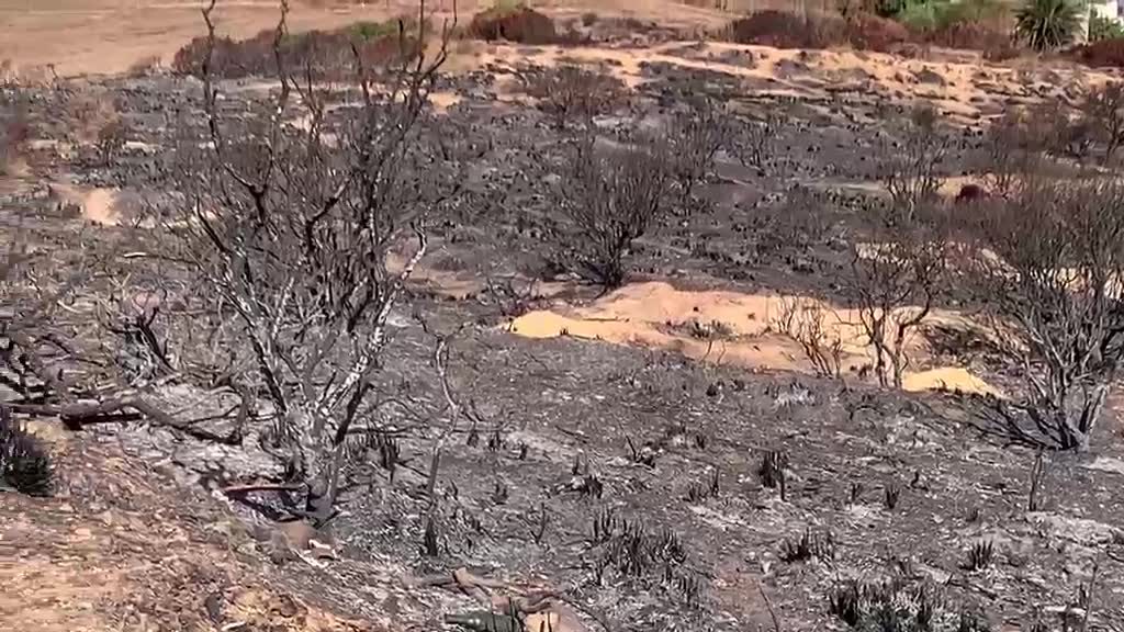
ArdhiFire maps burned areas at plot level and forecasts fire risk up to seven days ahead. The result: time-stamped evidence of the burned area for every claim, and alerts before the critical days. 77% detection accuracy in internal validation (2026). Twice award-winning in 2026.
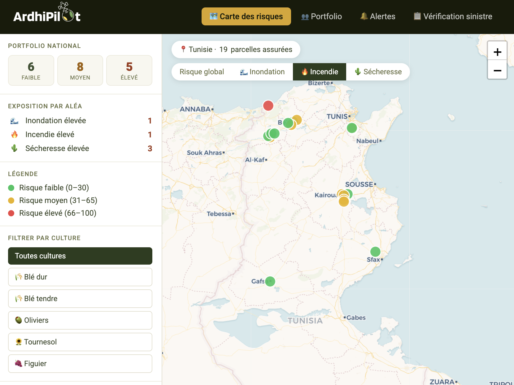
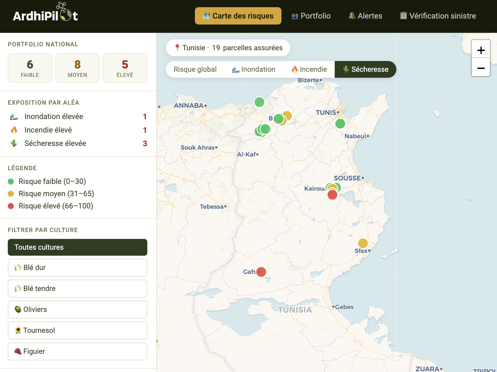
Fire risk scored per insured plot
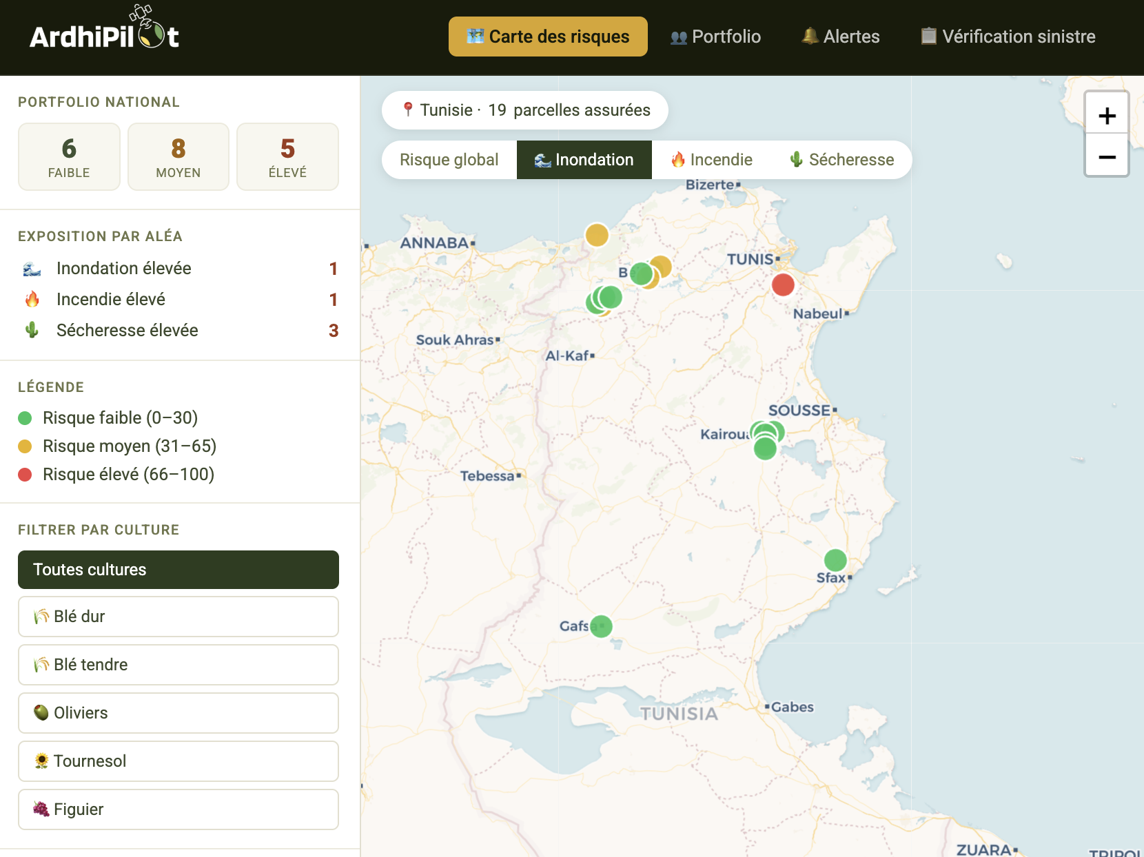
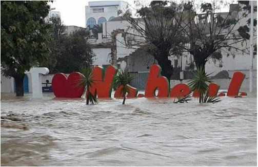
ArdhiFlood outlines flooded areas after an event and assesses each plot's exposure to flood risk, to verify claims and price the risk. Pilot area: Nabeul governorate.
Flood risk scored per insured plot
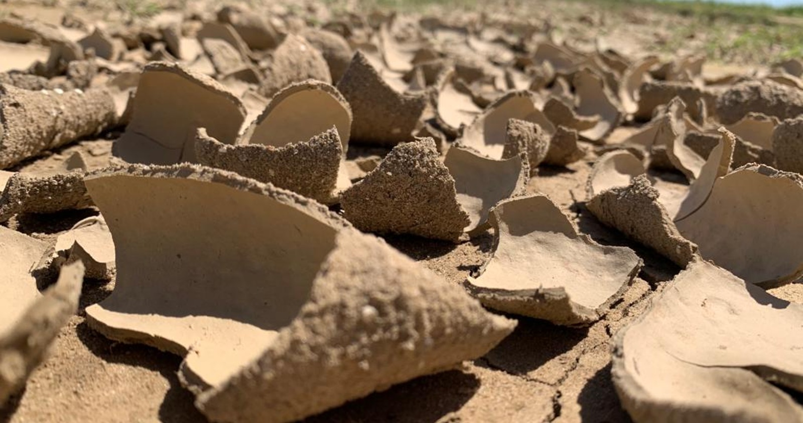
It is the leading indicator of drought: it signals water stress before it shows on the vegetation.
Drought risk scored per insured plot
Track your crop health in real-time and receive intervention advice directly in the field. With ArdhiPilot, you make the right decisions at the right time, wherever you are.
Fewer field staff, more ground to watch: ArdhiPilot helps public institutions decide where and when to act.
One specialized model per climate hazard, and an app for farmers.
Every model feeds a single platform: risk scores, early warnings and claim evidence for insurers, field advice for farmers.
Explore our modelsThe Earth Observation, AI and mobile building blocks behind every ArdhiPilot risk decision.
Earth Observation imagery for comprehensive terrain analysis
Machine learning algorithms for predictive insights on crop and soil health
Real-time notifications for weather conditions, climate risks and irrigation needs
Secure data sharing with advisors, institutions and farming communities
Our models are not generic tools applied blindly. They rest on more than ten years of research and field data collected on Tunisian parcels.
10+ years
of research and field data
100+
farmers involved in field data collection
91%
accuracy in early yield forecasting (peer-reviewed publication, 2025)
2
international awards in 2026 for ArdhiFire
Early cereal yield forecasting: up to 91% accuracy
Taylor & Francis, 2025
Read the publicationDrought indices and cereal yield, Kairouan: R = 0.9 correlation
Remote Sensing, MDPI, 2023
Read the publicationCereal parcel classification, Kairouan: 89.3% accuracy
Agriculture, MDPI, 2023
Read the publication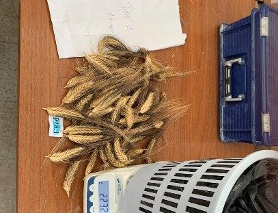
Pilot goal
From weeks to under 10 days
Our target with insurer pilots: cut crop-damage claim settlement from 4–8 weeks to under 10 days using objective Earth Observation evidence.